It’s not every day that a national event takes place in the town called “home”. On a more special note, it is also a sport that is new into my life, Mountain Biking.
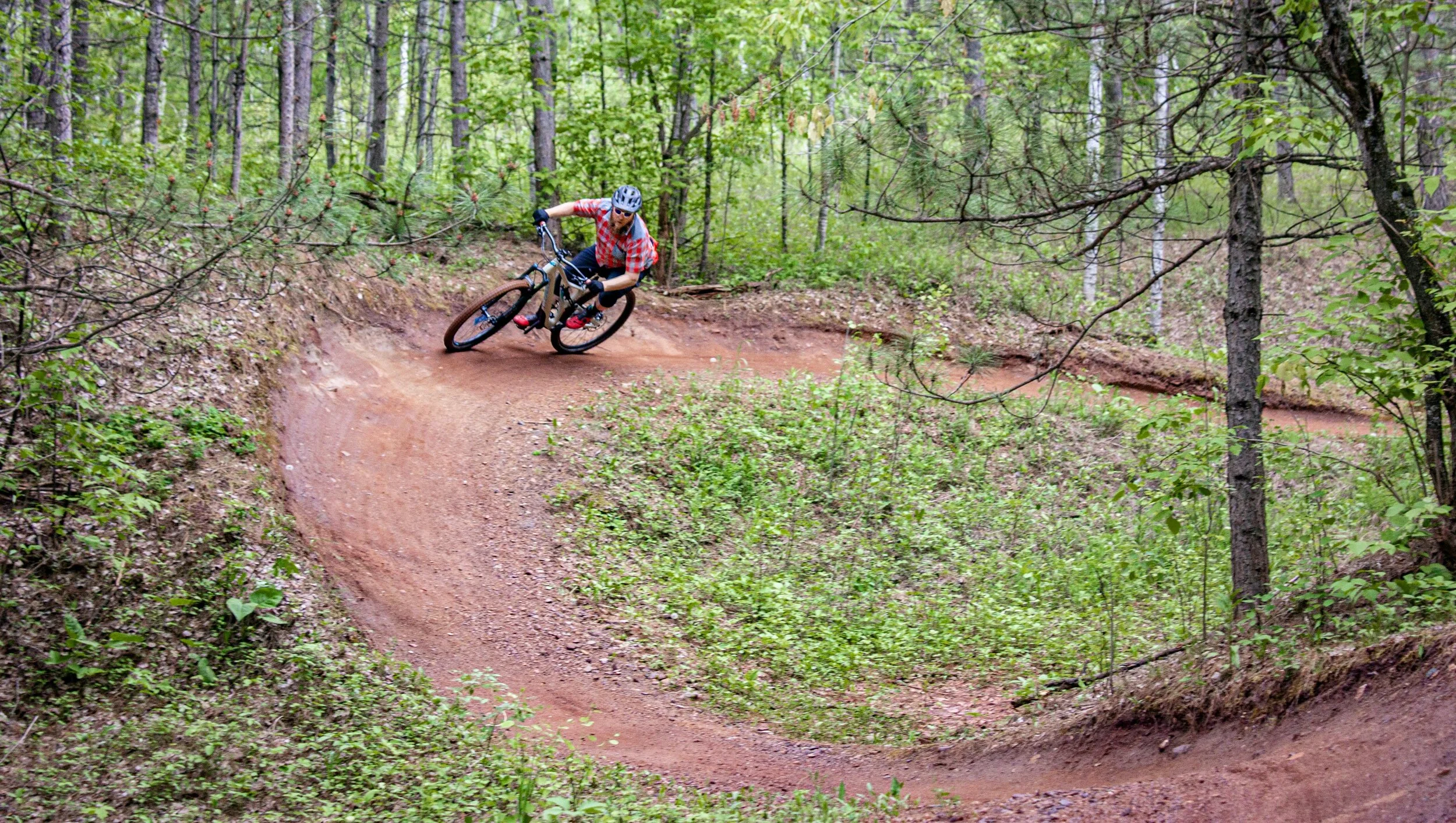
Photo by Tom Conway on Unsplash.
Mountain biking has always appeared to be a daunting hobby. You hop on a bike and ride a single track trail scattered with obstacles and wicked terrain, combine that with speed, and you’re asking to break something.
That was until I first tried it after some smooth coaxing and my goodness, could you believe it, the brakes are magnificent! Successive rides allowed me to feel more comfortable on the bike and what I dare call, competent.
I was eager to get my two wheels spinning fast, rounding berms, hitting jumps and pounding down rooty drops. Quicker than I arrived at the top, I found myself down at the bottom dripping in sweat, breathing hard and chock full of adrenaline. Okay, mountain biking is pretty sweet and it’s definitely not as harrowing as it appears from an outside perspective.

An impressive amount of belly sweat from an afternoon ride.
My ability allows me to go down a hill without getting hurt, although particularly slow, I am wholly intact. The competitors at the Dunbar Series Downhill Mountain Bike Race are on an entirely different echelon, the summit.
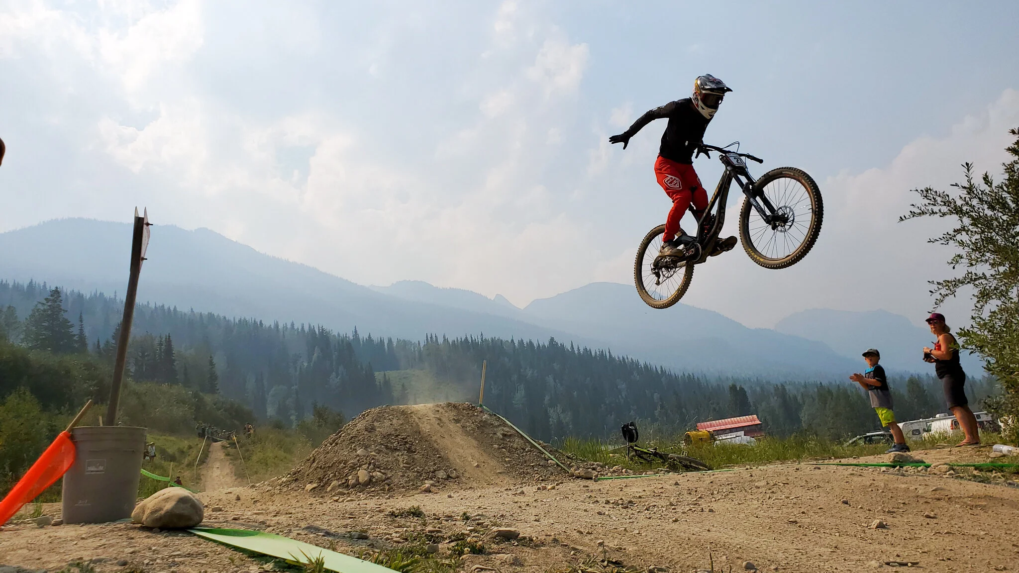
I’m not entirely sure what this stunt is called, but I’m impressed, as was the crowd.
Being able to watch the competitors race was entirely awesome. We sat in the grass next to the track and watched some crazy talented rider rip by every 30 or so seconds (on average) and would be shrouded in their clouds of dust. Spectators hollered and cheered as racers jumped the road gap nearing the finish line. A couple of folks even brought chainsaws to the event and would rev them up high and loud as the competitors raced by.
Reviewing the finishing times astounded me. The winner of the event finished in less than FOUR minutes, four. To add some perspective to this figure, when I leave the top I don’t get back to the bottom in the same hour. Between breaks, figuring out where to go and the general speediness of my ride it typically takes me between 75 and 90 minutes to reach the gondola again.
I appreciate being able to watch such talented riders compete at my local mountain. With the town full of competitors from around Canada, there was a buzz in the atmosphere that has long been missed. It was my initial experience of Downhill Mountain Bike culture, and I’m fully sold. The smiles were big, the stoke was high and the community was friendly. What more could a first year mountain biker ask for in a community, sport, and hobby?

Two racers neck to neck as they enter the final two turns of the race.